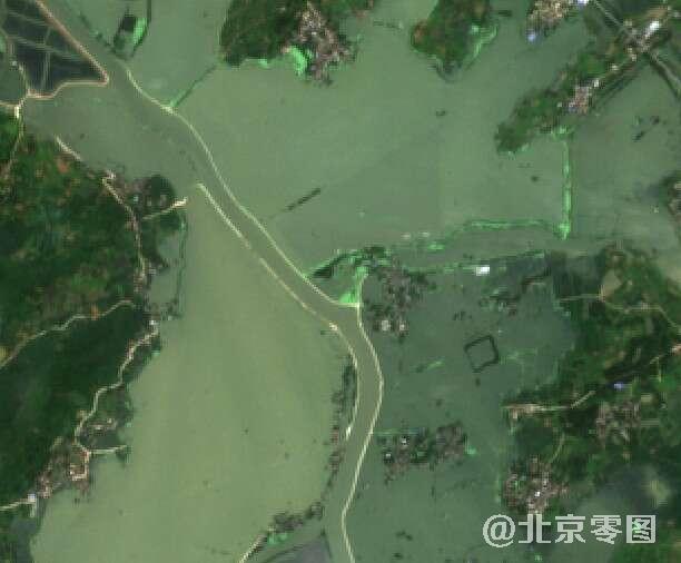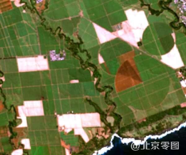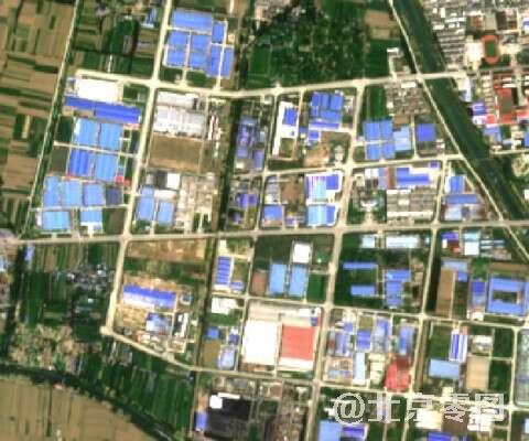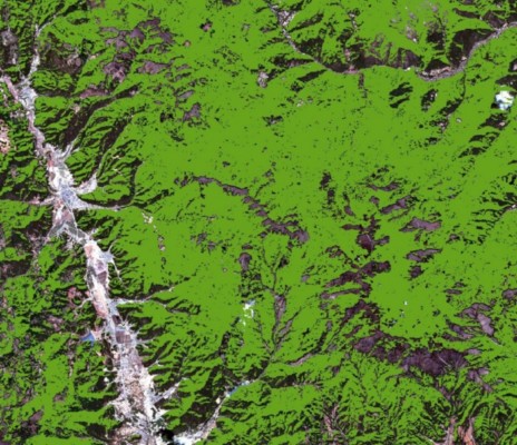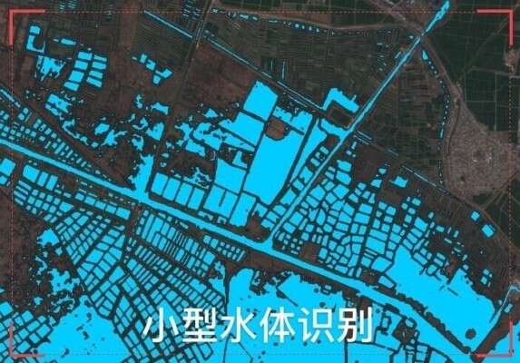

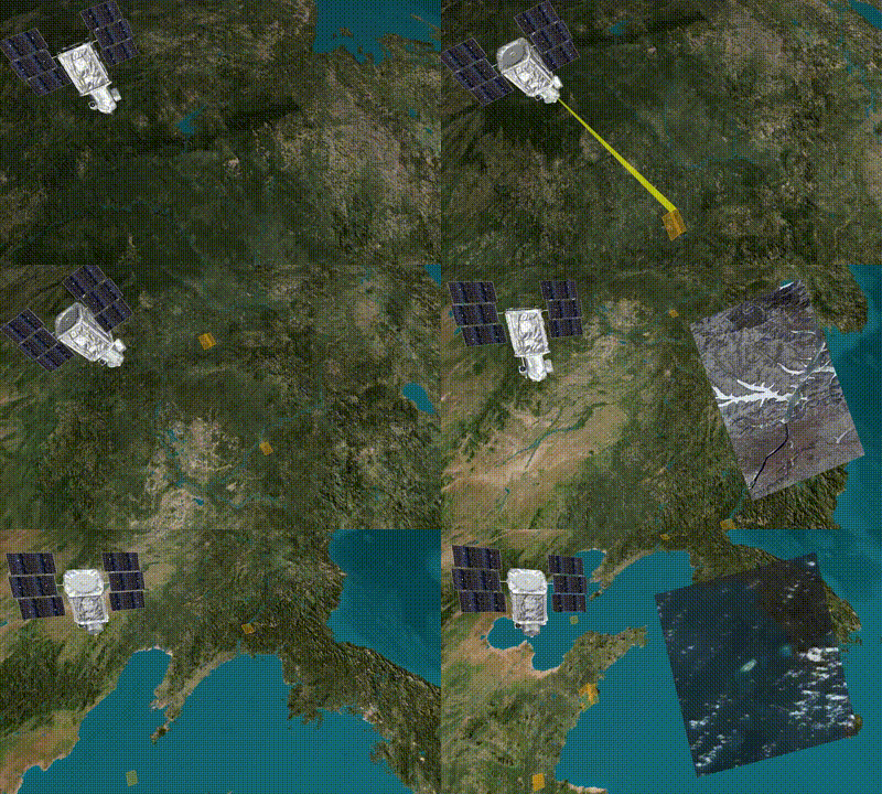

Our company brings together major global commercial high-resolution satellite companies such as the United States, France, South Korea and China's commercial satellite resources to provide you with satellite maps from 1980 to 2021, including satellite remote sensing image data of 0.3-30 meters, of which sub-meter (0.3 -1 meter) high-resolution satellite images have been widely recognized and applied in major industries, and the use of hyperspectral satellites and satellite radar data has been further promoted
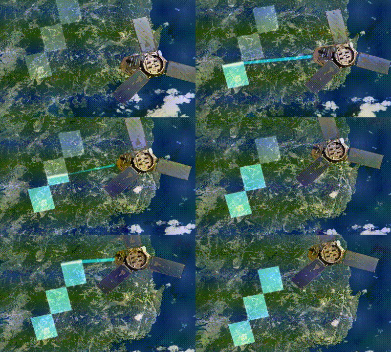
You can use this product if you need a high-resolution satellite to retake the latest satellite remote sensing images. Satellite programming data is mainly based on 0.3m-1m high-resolution satellites in the United States, France and China. Satellite programming data can be specified to be taken at any time in the next year, and it can be taken all over the world, mainly affected by weather. Regular projects will be shot within 1-2 months.
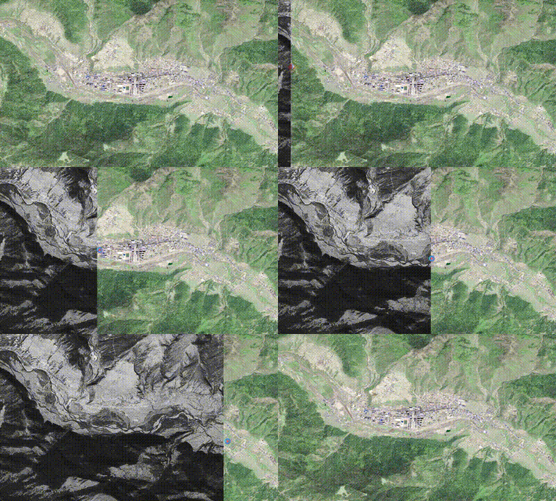
If you need a historical image map of the past or even the last century, you can use this product. Our company can provide historical image maps from 1960 to the present: the historical image maps from 1960 to 1980 were mainly 2-3 meters black and white satellite maps; From 1980 to 2000, the historical image map was mainly 15-30 meters; The historical image map from 2000 to 2015 is mainly 0.5-15 meters; After 2015, satellite images with a range of 0.3m-2m will be the main ones.
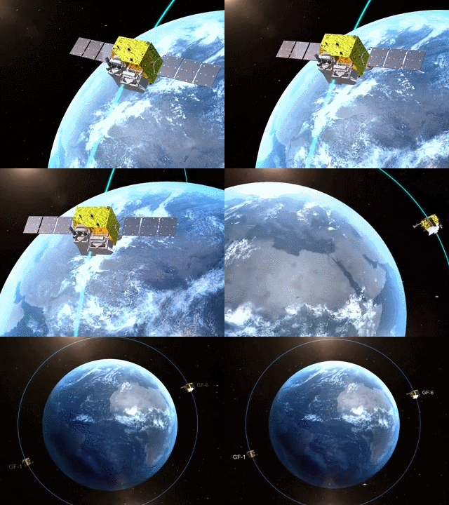
The global commercial optical remote sensing satellites include dozens of satellites from the United States,
France, China and many other countries, and there are many kinds (high-resolution satellites, hyperspectral satellites, satellite radar data, etc.).
BeiJing-OMAP has realized one-stop inquiry service to provide customers with the most accurate and detailed satellite image purchase service. At the same time,
the company provides satellite remote sensing image data inquiry-satellite image purchase-image processing-after-sales one-stop service.

CCTV represents the voice of China. In 2018, it even proposed to build a "national brand plan".
BeiJing-OMAP passed the high-standard assessment of CCTV, and the brand advertisement successfully landed on CCTV,
which was grandly broadcast to the whole country during the 7 prime time of the central government.
It is a satellite image purchase service provider mainly engaged in high-resolution satellite map image data service with too few CCTV exhibitions.

In 2017, BeiJing-OMAP successively obtained the computer software copyright and
software product certificate double soft certification related to satellite remote sensing image,
and in 2018 became a national high-tech enterprise with satellite image data service as its core.
These honors are proof of our ability in satellite image service. At the same time,
it is also the foundation for ensuring our service ability and service quality.
We will continuously improve the service level and provide customers with better satellite image data services.

Satellite high-frequency monitoring can be used to quickly acquire the satellite map in 2021: in conventional projects, we take the cloud amount of satellite map less than 15% as qualified data, and under this standard, each monitoring area is expected to have 1-5 satellite map image data every month. In case of emergency disaster relief use scenario, we will provide monitoring results with maximum frequency in combination with satellite radar data (not affected by climate), and realize daily monitoring as soon as possible.
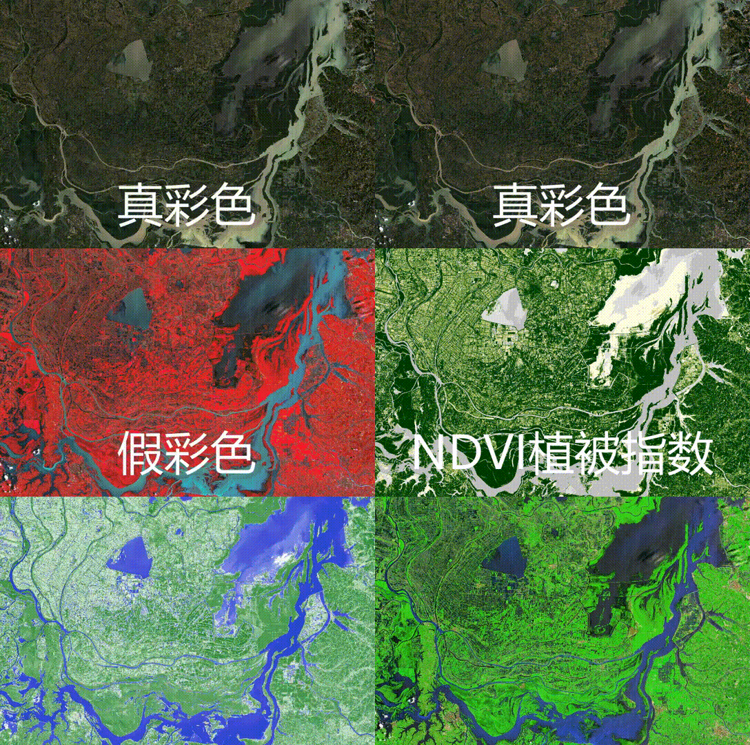
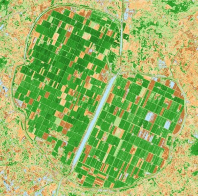
Hyperspectral satellites are rich in spectral information. On the basis of providing traditional satellite image data, we have standardized interpretation and analysis of remote sensing image data of each hyperspectral satellite, and the analysis results are displayed and provided in TIFF image format or picture format. Because the sensor type, spectral information and resolution of each hyperspectral satellite are different, the analysis results of each period are slightly different.
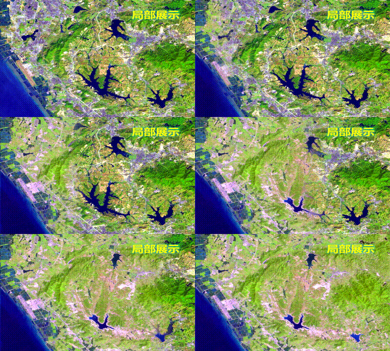
Through satellite high-frequency monitoring, the satellite map of 2021 is obtained once a month or even once a week,
and then the multi-phase satellite images are compared and the change map spots are extracted,
so that the changes of cities and landforms can be seen and seen accurately, which is mostly used for urban illegal construction, farmland protection,
illegal forestry logging, park monitoring, urban greening monitoring, environmental protection supervision and so on.
